
Georgia Version 3 2017 released
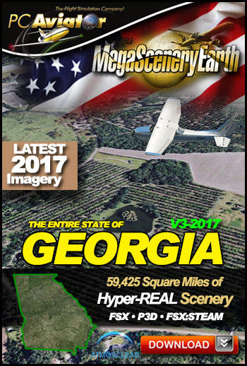 The New MegaSceneryEarth Georgia Version 3 - 2017 features unsurpassed image sharpness, scenery color and clarity, improved scenery features with accurate additional water bodies and the latest completely-up-to-date aerial imagery available taken in 2017.
Fly the entire state - BORDER to BORDER - of Georgia in photoreal detail.
Georgia is a massive 59,425 square miles in size and has 349 airports. You'll see everything that you see in Georgia in real life in the scenery including the world's busiest airport - Atlanta.
As an added bonus, we now provide all the VFR and IFR charts in digital PDF format to enable you to get the most out of your scenery. This includes TACs and Sectionals, IFR enroute charts and 650 page book of Instrument Approach plates, Airport Diagrams, SIDs and STARs. The charts are downloadable along with your scenery files.
You'll see everything that you see in Georgia in real life in the scenery. The clarity of the imagery is stunning.