USA Eastern
 This Eastern USA Bundle gives you all 26 states east of The Mississippi River.
- Alabama
- Connecticut
- Delaware
- Florida
- Georgia
- Illinois
- Indiana
- Kentucky
- Massachusetts
- Maryland
- Maine
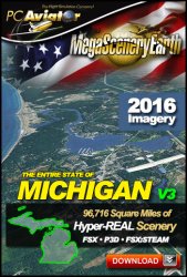
- Michigan
- Mississippi
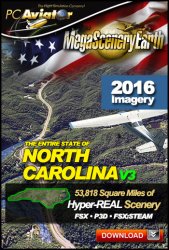
- North Carolina
- New Hampshire
- New Jersey
- New York
- Ohio
- Pennsylvania
- Rhode Island
- South Carolina
- Tennessee
- Virginia
- Vermont
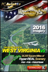
- West Virginia
- Wisconsin
You get a total area of 959,000 square miles of contiguous scenery as well as all the VFR and IFR charts for each state.
Data Size: 617,000 Gb
Download Time (1 Gb, 300, 100, 50 MBPs): 96 Min, 319 Min, 16 Hours, 32 Hours
Price: $333.19
TO ORDER THIS REGIONAL BUNDLE
Due to each state having its own license number you will need to add each item to your cart individually. This can be done very quickly by clicking on the shopping bag below each of the 26 product boxes below.
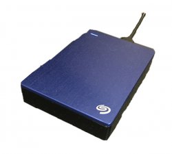
Please note that this title is an enormous download at over 617 Gb. While your order will be downloadable, we recommend that you consider the hard drive option. This is the most convenient option and helps you avoid having your home internet connection occupied with this massive download. If you choose, you can return the hard drive for a refund on the value of the hard drive $120. We charge a small $30 fee for preparation of the hard drive. We offer a single standard size of 4 Tb since it is the best value for money. You will have over 2.5 Tb spare for other uses. e.g. as a place to backup all your flight sim download purchases.
HARD DRIVE OPTIONS:
When you order a hard drive we provide you with 2 sets of data:
1. We provide hard drive files as installer for each state in each states individual folder so you will need to install all states individually. This will create 26 individual State scenery folders along with 26 entries in your scenery library. These will be in a folder called Installers.
2. We also add another folder with ALL scenery BGL files already extracted in the one folder called MegaSceneryEarth/USAEAST/Scenery. All you will have to do when you receive the drive is add a simple entry into your Scenery Library either reading the scenery directly from the high performance USB drive - or you can copy the entire contents to a regular internal hard drive with one simple file copy followed by one simple entry to your scenery library.
If you don't want either of those two data sets on the hard drive, you can delete which one you don't want.
-
-
-
-
-
-
-
-
-
-
-
-
-
-
-
-
The entire state of Florida at 1 meter per pixel resolution
created from the latest up-to-date 2017 aerial imagery. -
The entire state of Illinois at 1 meter per pixel resolution
created from the latest up-to-date 2017 aerial imagery. -
The entire state of Delaware at 1 meter per pixel resolution
created from the latest up-to-date 2017 aerial imagery. -
The entire state of New Jersey at 1 meter per pixel resolution
created from the latest up-to-date 2017 aerial imagery. -
The entire state of Pennsylvania at 1 meter per pixel resolution
created from the latest up-to-date 2017 aerial imagery. -
The entire state of New York at 1 meter per pixel resolution
created from the latest up-to-date 2017 aerial imagery. -
The entire state of South Carolina at 1 meter per pixel resolution
created from the latest up-to-date 2017 aerial imagery. -
The entire state of Alabama at 1 meter per pixel resolution
created from the latest up-to-date 2017 aerial imagery. -
The entire state of Georgia at 1 meter per pixel resolution
created from the latest up-to-date 2017 aerial imagery. -
The entire state of Wisconsin at 1 meter per pixel resolution
created from the latest up-to-date 2017 aerial imagery. -
The entire state of Ohio at 1 meter per pixel resolution
created from the latest up-to-date 2017 aerial imagery. -
The entire state of Minnesota at 1 meter per pixel resolution
created from the latest up-to-date 2017 aerial imagery. -
The entire state of Maryland at 1 meter per pixel resolution
created from the latest up-to-date 2017 aerial imagery.


