
Wisconsin V3 2017 Released
 The New MegaSceneryEarth Wisconsin V3 - 2017 featuring unsurpassed image sharpness, scenery color and clarity, improved scenery features with accurate additional water bodies and topographical data and the latest completely-up-to-date aerial imagery available taken in 2017.
Fly the entire state - BORDER to BORDER - of Wisconsin in photoreal detail.
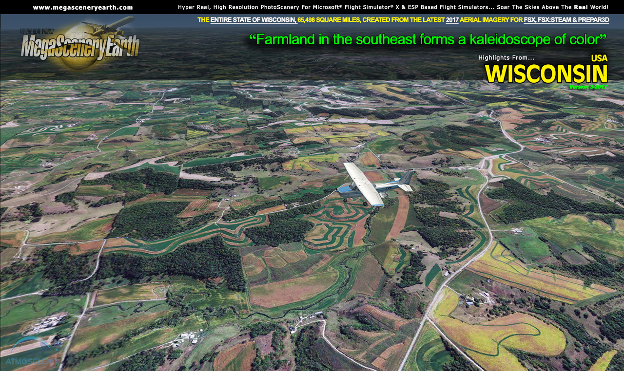
Wisconsin is 65,498 square miles in size and has 493 airports. You'll see everything that you see in Wisconsin in real life in the scenery. This is a massive sized state.
As an added bonus, we now provide all the VFR and IFR charts in digital PDF format to enable you to get the most out of your scenery. This includes TACs and Sectionals, IFR enroute charts and fully indexed 434 page book of Instrument Approach plates, Airport Diagrams, SIDs and STARs. The charts are downloadable along with your scenery files.
You'll see everything that you see in Wisconsin in real life in the scenery. The clarity of the imagery is stunning.
Click here to view more info, download the free demo and order.