
Kansas 2017 Released
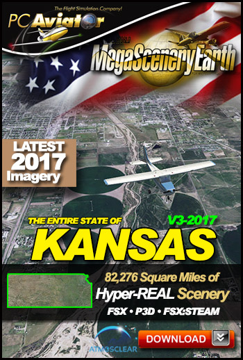 The New MegaSceneryEarth Kansas V3 featuring unsurpassed image sharpness, scenery color and clarity, improved scenery features with accurate additional water bodies and topographical data and the latest aerial imagery available taken in 2017.
Fly the entire state - BORDER to BORDER - of Kansas in photoreal detail.
Kansas is a MASSIVE 82,276 square miles in size and has 383 airports. You'll see everything that you see in Kansas in real life in the scenery.
As an added bonus, we now provide all the VFR and IFR charts in digital PDF format to enable you to get the most out of your scenery. This includes two Sectionals, three IFR enroute charts, a Terminal Area Chart, and a 370 page book of Instrument Approach plates, Airport Diagrams, SIDs and STARs, and an Airport Facility Directory. The charts are downloadable along with your scenery files.
Some of the cities and landmarks you'll get to enjoy as you explore Kansas include:
Cities: Wichita, Kansas City, Topeka, Olathe, Lawrence, Shawnee, Salina, Dodge City
Lakes & Water Bodies: Cheney Reservoir, Tuttle Creek Reservoir, Waconda Lake, Wilson, Kirwin Reservoir,
Mountains & Hills: Mount Sunflower (4,035), Rock Hillm Red Hills, Point Of Rocks, Motti Hill and a total of 50 peaks above 1500 ft.
State Parks & National Forests: Cimarron National Grassland, Cedar Bluff, Scott, Prairie Dog, Rock City, Flint Hills and many more.
Major Rivers: Arkansas, Kansas, Missouri, Republican, Smoky Hill
Discover the rest of it all for yourself! There's a LOT to see!